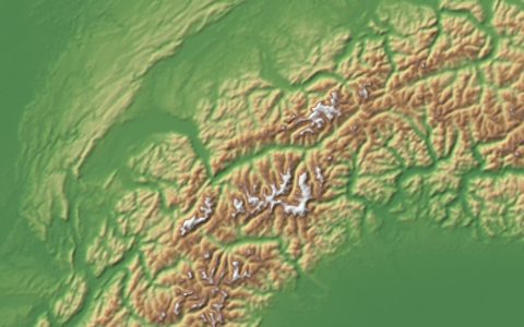
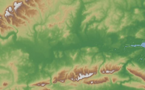
DEM
USGS 3DEP Elevation
3D Elevation Program. Lidar-based elevation for the United States, 1 m to 1/3 arc-second.
The national elevation baseline for the United States, collected mostly by airborne lidar. Seamless 1/3 arc-second DEMs cover the whole country; 1 m DEMs cover wherever lidar has been flown.
- Source
- U.S. Geological Survey
- Resolution
- 1 m (lidar) to 10 m (1/3 arc-second)
- Data type
- Raster and point cloud
- Time span
- Varies by project
- Temporal
- Static, updated by project
- Access type
- API (external) · The National Map API, no key
- Formats
- GeoTIFF, LAZ point clouds
- Coverage
- United States and territories (-180, 17, -64, 72)
- Licence
- Public domain (U.S. Government work)
- Provider page
- www.usgs.gov/3d-elevation-program
Access
api1/3 arc-second DEM products in the area (The National Map API)
https://tnmaccess.nationalmap.gov/api/v1/products?bbox={west},{south},{east},{north}&datasets=National%20Elevation%20Dataset%20(NED)%201/3%20arc-second&prodFormats=GeoTIFF&max=100
api1 m DEM products in the area (The National Map API)
https://tnmaccess.nationalmap.gov/api/v1/products?bbox={west},{south},{east},{north}&datasets=Digital%20Elevation%20Model%20(DEM)%201%20meter&max=100
curl -fL "https://tnmaccess.nationalmap.gov/api/v1/products?bbox=-123,43.5,-121,45.5&datasets=National%20Elevation%20Dataset%20(NED)%201/3%20arc-second&prodFormats=GeoTIFF&max=100" \
  -o response
import requests
r = requests.get("https://tnmaccess.nationalmap.gov/api/v1/products?bbox=-123,43.5,-121,45.5&datasets=National%20Elevation%20Dataset%20(NED)%201/3%20arc-second&prodFormats=GeoTIFF&max=100")
r.raise_for_status()
open("response", "wb").write(r.content)const res = await fetch("https://tnmaccess.nationalmap.gov/api/v1/products?bbox=-123,43.5,-121,45.5&datasets=National%20Elevation%20Dataset%20(NED)%201/3%20arc-second&prodFormats=GeoTIFF&max=100");
console.log(res.status, res.headers.get("content-type"));Also available as JSON: links · manifest · dataset record