Copernicus DEM GLO-30
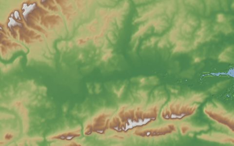
Copernicus Digital Elevation Model. 30 m global digital surface model from TanDEM-X.
A digital surface model edited from the WorldDEM, itself built from TanDEM-X radar interferometry. It is a surface model, so forest canopy and buildings are included in the heights; see FABDEM for a bare-earth version. GLO-30 tiles over Armenia and Azerbaijan are not in the public release.
- Source
- Airbus Defence and Space, Copernicus Programme (European Union), European Space Agency
- Resolution
- 30 m (1 arc-second)
- Data type
- Raster
- Time span
- 2011–2015
- Temporal
- Static (TanDEM-X acquisitions 2011 to 2015)
- Access type
- Direct download (external) · Open tiles on AWS, no login
- Formats
- Cloud Optimized GeoTIFF
- Coverage
- Global land (-180, -90, 180, 90)
- Licence
- Copernicus DEM licence (free use, attribution required)
- DOI
- 10.5270/ESA-c5d3d65
- Provider page
- dataspace.copernicus.eu/explore-data/data-collections/coper…
Cite as. European Space Agency and Airbus (2022). Copernicus DEM. https://doi.org/10.5270/ESA-c5d3d65
Access
tilesGLO-30 tiles on AWS Open Data (no login)
1° × 1° tiles named by their south-west corner. Only tiles that exist are listed.
stacSTAC search on Earth Search (Element 84)
STAC API at https://earth-search.aws.element84.com/v1, collection cop-dem-glo-30.
apiClipped GeoTIFF from the OpenTopography Global DEM API (free API key)
https://portal.opentopography.org/API/globaldem?demtype=COP30&south={south}&north={north}&west={west}&east={east}&outputFormat=GTiff&API_Key=YOUR_KEY
curl -fsSL "https://hydrological.org/api/v1/datasets/copernicus-dem-glo30/links.txt?bbox=-75,-20,-50,5" \
  | xargs -n 1 curl -fLO
import requests
urls = requests.get("https://hydrological.org/api/v1/datasets/copernicus-dem-glo30/links.txt?bbox=-75,-20,-50,5").text.split()
for url in urls:
name = url.rsplit("/", 1)[-1]
with requests.get(url, stream=True) as r, open(name, "wb") as f:
for chunk in r.iter_content(1 << 20):
f.write(chunk)const res = await fetch("https://hydrological.org/api/v1/datasets/copernicus-dem-glo30/links?bbox=-75,-20,-50,5");
const { groups } = await res.json();
for (const g of groups) g.links.forEach(l => console.log(l.url));Also available as JSON: links · manifest · dataset record