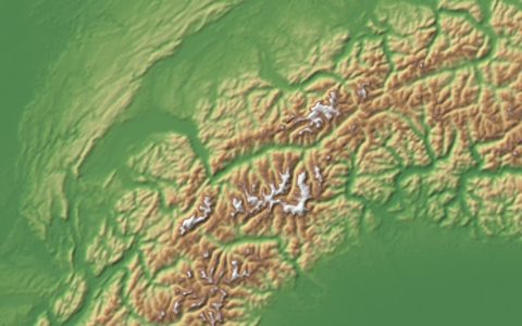
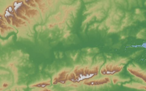
NASADEM
NASADEM Merged DEM Global 1 arc second. Reprocessed SRTM with ASTER and ICESat corrections.
A reprocessing of the original SRTM radar data with improved phase unwrapping and ICESat control, with voids filled mainly from ASTER GDEM. It supersedes SRTMGL1 for most uses inside the SRTM footprint.
- Source
- National Aeronautics and Space Administration
- Resolution
- 30 m (1 arc-second)
- Data type
- Raster
- Time span
- 2000
- Temporal
- Static
- Access type
- Download with free login · Free NASA Earthdata login
- Formats
- HGT (zipped), NetCDF
- Coverage
- 56°S – 60°N (-180, -56, 180, 60)
- Licence
- Public domain (U.S. Government work)
- DOI
- 10.5067/MEaSUREs/NASADEM/NASADEM_HGT.001
- Provider page
- lpdaac.usgs.gov/products/nasadem_hgtv001/
Cite as. NASA JPL (2020). NASADEM Merged DEM Global 1 arc second V001. NASA EOSDIS Land Processes DAAC. https://doi.org/10.5067/MEaSUREs/NASADEM/NASADEM_HGT.001
Access
cmrNASADEM_HGT v001 tiles from NASA Earthdata
Granules found through NASA's Common Metadata Repository (collection NASADEM_HGT v001). Downloads need a free Earthdata login.
apiClipped GeoTIFF from the OpenTopography Global DEM API (free API key)
https://portal.opentopography.org/API/globaldem?demtype=NASADEM&south={south}&north={north}&west={west}&east={east}&outputFormat=GTiff&API_Key=YOUR_KEY
# Earthdata login in ~/.netrc:
# machine urs.earthdata.nasa.gov login USER password PASS
curl -fsSL "https://hydrological.org/api/v1/datasets/nasadem/links.txt?bbox=-75,-20,-50,5" \
  | xargs -n 1 curl -fLO --netrc -b ~/.urs_cookies -c ~/.urs_cookies
import earthaccess # pip install earthaccess
earthaccess.login()
results = earthaccess.search_data(short_name="NASADEM_HGT", version="001",
bounding_box=(-75, -20, -50, 5))
earthaccess.download(results, "data")const res = await fetch("https://hydrological.org/api/v1/datasets/nasadem/links?bbox=-75,-20,-50,5");
const { groups } = await res.json();
for (const g of groups) g.links.forEach(l => console.log(l.url));Also available as JSON: links · manifest · dataset record