SoilGrids 250 m
SoilGrids version 2.0. Global soil properties at six depths with uncertainty.
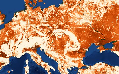
Clay, sand, silt, bulk density, organic carbon, pH, cation exchange capacity, coarse fragments and nitrogen at 0–5, 5–15, 15–30, 30–60, 60–100 and 100–200 cm, with quantiles for uncertainty. Soil texture from SoilGrids is a common input for pedotransfer functions.
- Source
- ISRIC World Soil Information
- Resolution
- 250 m
- Data type
- Raster
- Time span
- Static (2020)
- Temporal
- Static
- Access type
- API (external) · WCS and WebDAV, no login
- Formats
- Cloud Optimized GeoTIFF, VRT, WCS
- Coverage
- Global land (-180, -60, 180, 84)
- Licence
- CC BY 4.0
- Provider page
- soilgrids.org/
Cite as. Poggio, L., et al. (2021). SoilGrids 2.0: producing soil information for the globe with quantified spatial uncertainty. SOIL, 7, 217–240. https://doi.org/10.5194/soil-7-217-2021
Access
apiClay content 0–5 cm as GeoTIFF (WCS, change the coverage id for other properties)
https://maps.isric.org/mapserv?map=/map/clay.map&SERVICE=WCS&VERSION=2.0.1&REQUEST=GetCoverage&COVERAGEID=clay_0-5cm_mean&FORMAT=image/tiff&SUBSET=long({west},{east})&SUBSET=lat({south},{north})&SUBSETTINGCRS=http://www.opengis.net/def/crs/EPSG/0/4326&OUTPUTCRS=http://www.opengis.net/def/crs/EPSG/0/4326
linkWebDAV file tree (VRT and COG per property)
curl -fL "https://maps.isric.org/mapserv?map=/map/clay.map&SERVICE=WCS&VERSION=2.0.1&REQUEST=GetCoverage&COVERAGEID=clay_0-5cm_mean&FORMAT=image/tiff&SUBSET=long(-75,-50)&SUBSET=lat(-20,5)&SUBSETTINGCRS=http://www.opengis.net/def/crs/EPSG/0/4326&OUTPUTCRS=http://www.opengis.net/def/crs/EPSG/0/4326" \
  -o response
import requests
r = requests.get("https://maps.isric.org/mapserv?map=/map/clay.map&SERVICE=WCS&VERSION=2.0.1&REQUEST=GetCoverage&COVERAGEID=clay_0-5cm_mean&FORMAT=image/tiff&SUBSET=long(-75,-50)&SUBSET=lat(-20,5)&SUBSETTINGCRS=http://www.opengis.net/def/crs/EPSG/0/4326&OUTPUTCRS=http://www.opengis.net/def/crs/EPSG/0/4326")
r.raise_for_status()
open("response", "wb").write(r.content)const res = await fetch("https://maps.isric.org/mapserv?map=/map/clay.map&SERVICE=WCS&VERSION=2.0.1&REQUEST=GetCoverage&COVERAGEID=clay_0-5cm_mean&FORMAT=image/tiff&SUBSET=long(-75,-50)&SUBSET=lat(-20,5)&SUBSETTINGCRS=http://www.opengis.net/def/crs/EPSG/0/4326&OUTPUTCRS=http://www.opengis.net/def/crs/EPSG/0/4326");
console.log(res.status, res.headers.get("content-type"));Also available as JSON: links · manifest · dataset record