Soils
European Soil Database
European Soil Data Centre (ESDAC). Soil maps and derived hydraulic properties for Europe.
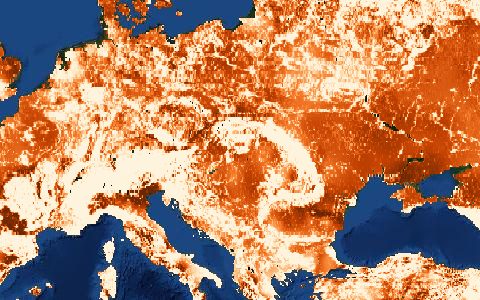
The harmonised soil map of Europe with its attribute database, plus derived rasters such as the 3D soil hydraulic database used by LISFLOOD.
- Source
- European Commission Joint Research Centre
- Resolution
- 1 km raster, 1:1,000,000 vector
- Data type
- Raster and polygons
- Time span
- Static
- Temporal
- Static
- Access type
- Registration with provider · Free request form
- Formats
- Shapefile, GeoTIFF
- Coverage
- Europe (-25, 34, 45, 72)
- Licence
- See provider terms
- Provider page
- esdac.jrc.ec.europa.eu/content/european-soil-database-v20-v…
Access
linkESDAC dataset page
https://esdac.jrc.ec.europa.eu/content/european-soil-database-v20-vector-and-attribute-data
curl "https://hydrological.org/api/v1/datasets/esdb/links?bbox=9,52,11,54" \
  -H "Accept: application/json"
import requests
r = requests.get("https://hydrological.org/api/v1/datasets/esdb/links",
params={"bbox": "9,52,11,54"})
for group in r.json()["groups"]:
for link in group["links"]:
print(link["url"])const res = await fetch("https://hydrological.org/api/v1/datasets/esdb/links?bbox=9,52,11,54");
const { groups } = await res.json();
for (const g of groups) g.links.forEach(l => console.log(l.url));Also available as JSON: links · manifest · dataset record