Management
Aqueduct 4.0 Water Risk Atlas
World Resources Institute. Baseline and future water stress by sub-basin.
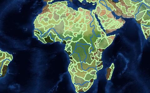
Thirteen indicators of physical water quantity, quality and regulatory risk, including baseline water stress, depletion, interannual and seasonal variability, groundwater decline and flood risk, with future projections under three scenarios.
- Source
- World Resources Institute
- Resolution
- Sub-basins (HydroBASINS level 6)
- Data type
- Polygons
- Time span
- 1979–2019 baseline, 2030 to 2080 projections
- Temporal
- Annual and monthly indicators
- Access type
- Direct download (external)
- Formats
- CSV, File geodatabase
- Coverage
- Global (-180, -90, 180, 90)
- Licence
- CC BY 4.0
- Provider page
- www.wri.org/data/aqueduct-global-maps-40-data
Cite as. Kuzma, S., et al. (2023). Aqueduct 4.0: Updated decision-relevant global water risk indicators. World Resources Institute. https://doi.org/10.46830/writn.23.00061
Access
linkData download page
curl "https://hydrological.org/api/v1/datasets/aqueduct-40/links?bbox=-75,-20,-50,5" \
  -H "Accept: application/json"
import requests
r = requests.get("https://hydrological.org/api/v1/datasets/aqueduct-40/links",
params={"bbox": "-75,-20,-50,5"})
for group in r.json()["groups"]:
for link in group["links"]:
print(link["url"])const res = await fetch("https://hydrological.org/api/v1/datasets/aqueduct-40/links?bbox=-75,-20,-50,5");
const { groups } = await res.json();
for (const g of groups) g.links.forEach(l => console.log(l.url));Also available as JSON: links · manifest · dataset record