ReservoirsManagement
GeoDAR
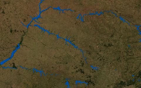
Georeferenced global Dams And Reservoirs. 22,560 dams and 21,515 reservoir boundaries.
Dams georeferenced from the ICOLD World Register and national inventories, with reservoir polygons, so register attributes such as capacity and purpose can be joined to locations.
- Source
- Zenodo
- Resolution
- Points and polygons
- Data type
- Points and polygons
- Time span
- Static (v1.1)
- Temporal
- Static
- Access type
- Direct download (external)
- Formats
- Shapefile
- Coverage
- Global (-180, -90, 180, 90)
- Licence
- CC BY 4.0
- Provider page
- doi.org/10.5194/essd-14-1869-2022
Cite as. Wang, J., et al. (2022). GeoDAR: georeferenced global dams and reservoirs dataset for bridging attributes and geolocations. Earth System Science Data, 14, 1869–1899. https://doi.org/10.5194/essd-14-1869-2022
Access
linkPaper with data links (Zenodo)
curl "https://hydrological.org/api/v1/datasets/geodar/links?bbox=-75,-20,-50,5" \
  -H "Accept: application/json"
import requests
r = requests.get("https://hydrological.org/api/v1/datasets/geodar/links",
params={"bbox": "-75,-20,-50,5"})
for group in r.json()["groups"]:
for link in group["links"]:
print(link["url"])const res = await fetch("https://hydrological.org/api/v1/datasets/geodar/links?bbox=-75,-20,-50,5");
const { groups } = await res.json();
for (const g of groups) g.links.forEach(l => console.log(l.url));Also available as JSON: links · manifest · dataset record