Land Use
Dynamic World
Google and World Resources Institute. Near-real-time 10 m land cover probabilities.
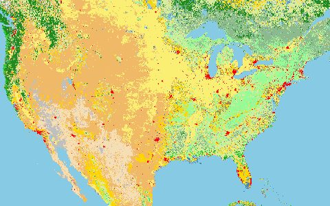
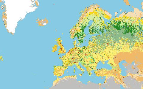
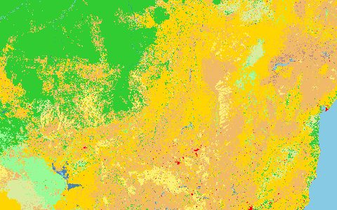
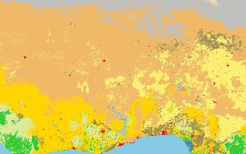
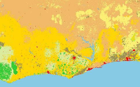
Class probabilities for nine land-cover types computed for every Sentinel-2 L1C scene with less than 35% cloud. Composites over any period can be built on the fly, which suits seasonal flooding and crop calendars.
- Source
- Google, World Resources Institute
- Resolution
- 10 m
- Data type
- Raster
- Time span
- 2015–present
- Temporal
- Every Sentinel-2 scene (2 to 5 days)
- Access type
- Cloud platform · Google Earth Engine account
- Formats
- Earth Engine image collection
- Coverage
- Global land (-180, -60, 180, 84)
- Licence
- CC BY 4.0
- Provider page
- dynamicworld.app/
Cite as. Brown, C. F., et al. (2022). Dynamic World, Near real-time global 10 m land use land cover mapping. Scientific Data, 9, 251. https://doi.org/10.1038/s41597-022-01307-4
Access
linkGOOGLE/DYNAMICWORLD/V1 in the Earth Engine catalogue
https://developers.google.com/earth-engine/datasets/catalog/GOOGLE_DYNAMICWORLD_V1
curl "https://hydrological.org/api/v1/datasets/dynamic-world/links?bbox=-75,-20,-50,5" \
  -H "Accept: application/json"
import ee
ee.Initialize(project="YOUR_PROJECT")
area = ee.Geometry.Rectangle([-75, -20, -50, 5])
dw = (ee.ImageCollection("GOOGLE/DYNAMICWORLD/V1")
.filterBounds(area)
.filterDate("2024-01-01", "2025-01-01"))
mode = dw.select("label").mode().clip(area)
task = ee.batch.Export.image.toDrive(mode, description="dynamic_world_2024",
region=area, scale=10)
task.start()// Earth Engine Code Editor
var area = ee.Geometry.Rectangle([-75, -20, -50, 5]);
var dw = ee.ImageCollection('GOOGLE/DYNAMICWORLD/V1')
.filterBounds(area)
.filterDate('2024-01-01', '2025-01-01');
Map.centerObject(area);
Map.addLayer(dw.select('label').mode().clip(area),
{min: 0, max: 8, palette: ['419bdf','397d49','88b053','7a87c6','e49635',
'dfc35a','c4281b','a59b8f','b39fe1']}, 'Dynamic World');Also available as JSON: links · manifest · dataset record