Climate
CHIRPS v2.0
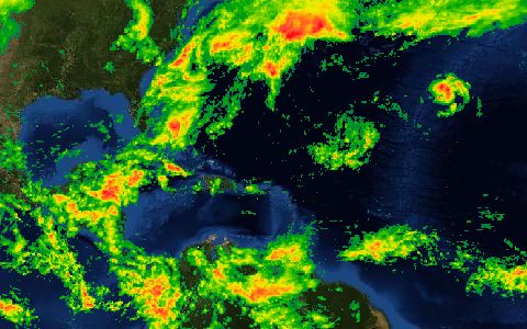
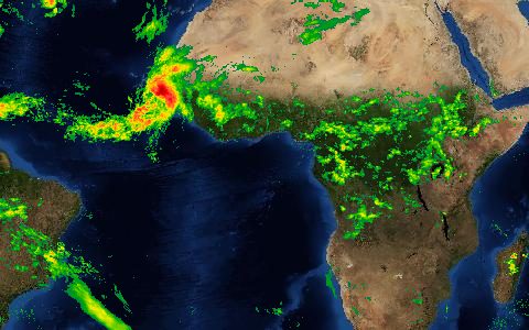
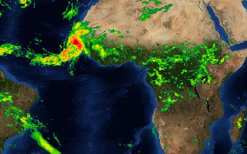
Climate Hazards Group InfraRed Precipitation with Station data. 0.05° rainfall since 1981 for drought monitoring.
Satellite infrared rainfall estimates blended with station observations, with low latency. The standard rainfall product for drought early warning in Africa and Latin America. CHIRPS v3.0 is available alongside it.
- Source
- Climate Hazards Center, UC Santa Barbara
- Resolution
- 0.05° (about 5.5 km)
- Data type
- Raster
- Time span
- 1981–present
- Temporal
- Daily, pentadal, dekadal, monthly
- Access type
- Direct download (external)
- Formats
- GeoTIFF, NetCDF, BIL
- Coverage
- 50°S – 50°N (-180, -50, 180, 50)
- Licence
- Public domain (CC0 waiver)
- Provider page
- www.chc.ucsb.edu/data/chirps
Cite as. Funk, C., et al. (2015). The climate hazards infrared precipitation with stations, a new environmental record for monitoring extremes. Scientific Data, 2, 150066. https://doi.org/10.1038/sdata.2015.66
Access
linkCHIRPS 2.0 file server (global monthly GeoTIFFs under global_monthly/tifs)
linkCHIRPS v3.0 file server
# One month of global rainfall; clip to -75,-20,-50,5 with GDAL
curl -fLO "https://data.chc.ucsb.edu/products/CHIRPS-2.0/global_monthly/tifs/chirps-v2.0.2020.01.tif.gz"
gunzip chirps-v2.0.2020.01.tif.gz
gdal_translate -projwin -75 5 -50 -20 chirps-v2.0.2020.01.tif clip.tif
import gzip, shutil, urllib.request
import rasterio
from rasterio.windows import from_bounds
url = "https://data.chc.ucsb.edu/products/CHIRPS-2.0/global_monthly/tifs/chirps-v2.0.2020.01.tif.gz"
urllib.request.urlretrieve(url, "chirps.tif.gz")
with gzip.open("chirps.tif.gz") as src, open("chirps.tif", "wb") as dst:
shutil.copyfileobj(src, dst)
with rasterio.open("chirps.tif") as ds:
rain = ds.read(1, window=from_bounds(-75, -20, -50, 5, ds.transform))const res = await fetch("https://hydrological.org/api/v1/datasets/chirps/links?bbox=-75,-20,-50,5");
const { groups } = await res.json();
for (const g of groups) g.links.forEach(l => console.log(l.url));Also available as JSON: links · manifest · dataset record